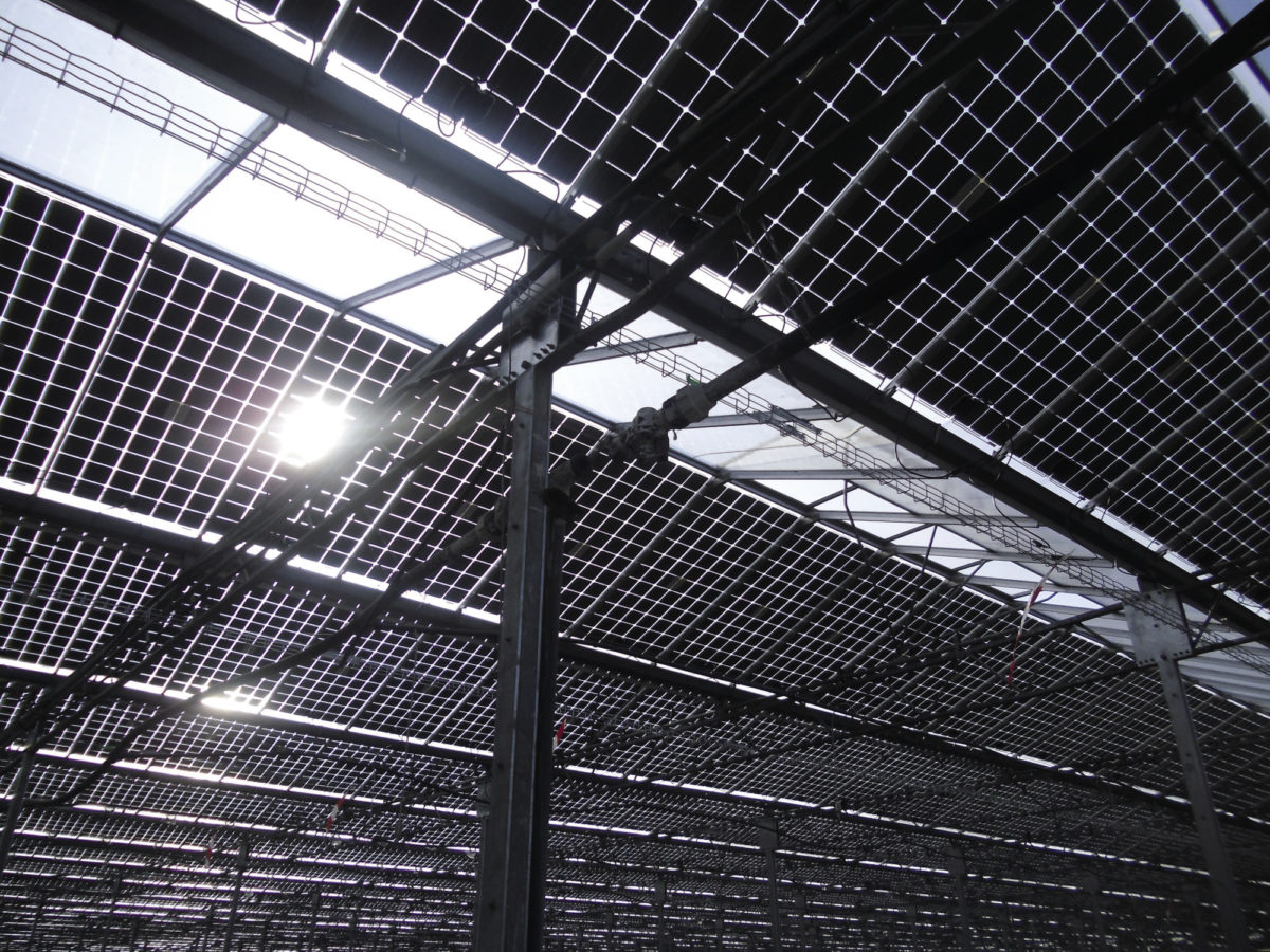
Scientists from the UK's National Physical Laboratory and engineering company Rina Tech UK Ltd have developed a new method to estimate albedo data for the deployment of bifacial PV systems in complex landscapes.
“We used particularly challenging sites as case studies, which suffer from a complex surrounding landscape, high latitude, and heavy cloud cover,” the scientists explained. “Ground-based measurements provided the most accurate measure of the albedo of the sites, but are impractical to implement, requiring at least one year to reproduce seasonal trends.”
The method combines data from two satellite sources – Sentinel-2 and NASA's Moderate Resolution Imaging Spectrometer (MODIS). Their combination reportedly helps to compensate for each other’s shortcomings. The MODIS observations are supplied at a surface spatial resolution of 500 m and, therefore, cannot be used to predict albedo in smaller areas, as they will catch data from neighboring fields. “For most installations less than 20 MW, the site will be too small compared to MODIS pixel resolution,” the academics explained.
Sentinel-2, by contrast, supplies higher spatial resolution images with 20 m × 20 m. However, MODIS provides data with higher quality. “We combined the high spatial resolution of Sentinel-2 with the better time resolution and angular reflectance information available at lower spatial resolution from MODIS,” the scientists said.
The group compared the results it achieved with the new approach with those of another albedo estimation technique based on MODIS with typical landscape datasets.
The results of this method were compared to another estimation method based on MODIS with a typical landscape dataset. “When the spatial resolution of MODIS is insufficient to accurately image the target site, a potential alternative studied in this work is to use a different ‘typical landscape’ as a reference,” the paper explained. “The typical landscape should have the same ground type and seasonal behavior as the target site. For this study, we generated a ‘typical’ temperate grassy bidirectional reflectance distribution function (BRDF) parameter dataset sourcing data from MODIS satellite observations of 5 different sites.”
Both methods were then compared through on-the-ground field examination. The site for the satellite-based and ground collection was a field in an undisclosed UK location, with regular mowing of the grass but no tilling or sowing. The site was also mostly cloudy or overcast more than 50% of the time, with the sky being completely clear only about 15% of the time.
“These features combined present an almost worst-case scenario for estimating effective albedo using remote sensing,” the research team explained. “The complex landscape presents issues for imaging with moderate resolution satellites, such as MODIS, while the high cloud cover limits the number of days on which good observations are possible.”
The academics said their method has a normalized root mean square error (NRMSE) of around 10%, while the reference method approached 40%.
They presented their findings in the study “Sourcing albedo data for bifacial PV systems in complex landscapes,” published in Solar Energy. “At this stage, we caution against generalizing the method to any location until further validation is performed with additional sites that represent a larger variety of conditions,” they concluded.
This content is protected by copyright and may not be reused. If you want to cooperate with us and would like to reuse some of our content, please contact: editors@pv-magazine.com.


By submitting this form you agree to pv magazine using your data for the purposes of publishing your comment.
Your personal data will only be disclosed or otherwise transmitted to third parties for the purposes of spam filtering or if this is necessary for technical maintenance of the website. Any other transfer to third parties will not take place unless this is justified on the basis of applicable data protection regulations or if pv magazine is legally obliged to do so.
You may revoke this consent at any time with effect for the future, in which case your personal data will be deleted immediately. Otherwise, your data will be deleted if pv magazine has processed your request or the purpose of data storage is fulfilled.
Further information on data privacy can be found in our Data Protection Policy.